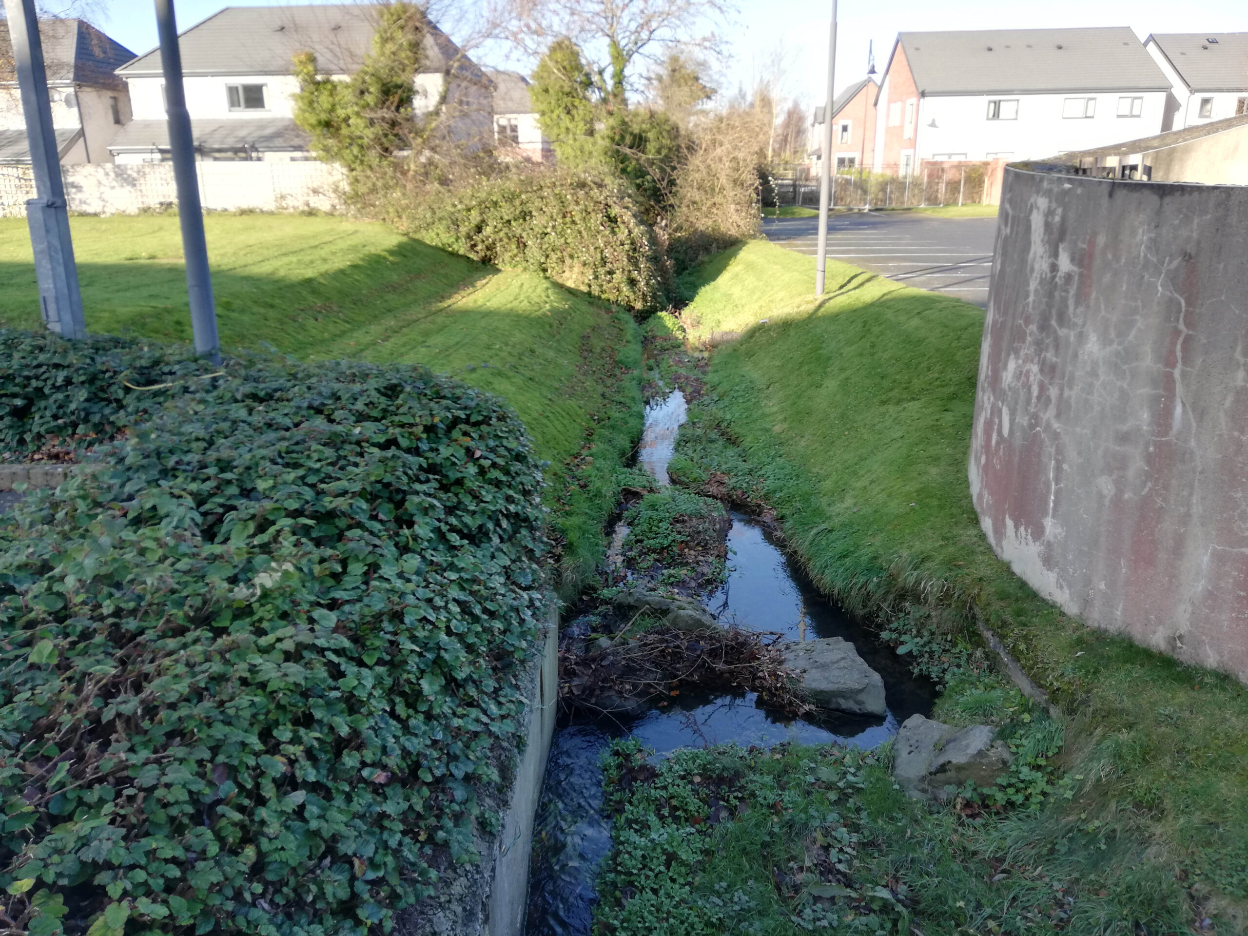
The River Camac catchment suffers from flooding which impacts heavily populated areas near the city centre including large areas of Kilmainham and Clondalkin. Dublin City Council and South Dublin County Council, in collaboration with the OPW, sought to develop a Flood Alleviation Scheme (FAS) that supports the River Camac's ecosystem by restoring natural processes alongside providing flood relief.
- Client AECOM on behalf of Dublin City Council, South Dublin County Council and OPW
- Location Dublin, Ireland
Informing hydromorphological insights through aerial imagery and field surveys
The River Camac is one of the most modified river catchments in Dublin, with extensive hydromorphological changes extending back through centuries to accommodate milling, agriculture, and urban expansion. This has resulted in a degraded river ecosystem with impacts on fish, plant, and invertebrate species, causing some parts of the River Camac catchment to be classified as "Poor" Ecological Status under the EU Water Framework Directive.
Our hydromorphological study began with an in-depth desktop study, utilising existing information including aerial imagery and historic OS maps. This study informed the field-based surveying which would follow, by delineating individual river reaches based on perceived river hydromorphological function and form. The River Hydromorphology Assessment Technique (RHAT) was used which is a visual assessment tool that standardises the classification of a river’s hydromorphological condition.
Detailed hydromorphological assessment report
As part of the RHAT survey, hydromorphologists traversed the full extent of the catchment, from the Camac’s uppermost reaches in the Dublin mountains to its convergence with the River Liffey. At each river reach, the surveyors assessed the river and carried out a 360-degree photo survey, providing a high-quality photo record of the river’s condition. As a result, we were able to produce a detailed hydromorphological assessment report. This included high-quality data tables, maps, and photographs of the river, which accompanied recommendations for hydromorphological enhancement measures.

Recommendations for river restoration in addition to flood relief measures
This study served several purposes in assisting with the development of the FAS. The results of the data collection exercise present robust evidence on the hydromorphological baseline of the River Camac and its main tributaries assisting the engineers in the development of the appropriate flooding relief solutions for each section of the river.
Using the results of the fieldwork campaign, which included a fluvial audit of the entire catchment, we were able to prioritise certain river reaches on the Camac for restoration which would improve the ecological status of the river. This included measures such as re-meandering of the river, planting of native species in the riparian zone, and removal of artificial materials such as concrete from the riverbed. These measures and options can be implemented to improve the hydromorphological condition of the River Camac and contribute to achieving "Good" status under the Water Framework Directive (WFD).
In addition, this study can be used to better understand the surface water dynamics of the catchment including appropriate locations for SuDS and other green infrastructure developments.

Contact Conor O'Neil to find out more about this project.


